Today Is the 60th Anniversary of Landmarking in NYC! Explore Our Timeline Map, and Support Landmarking
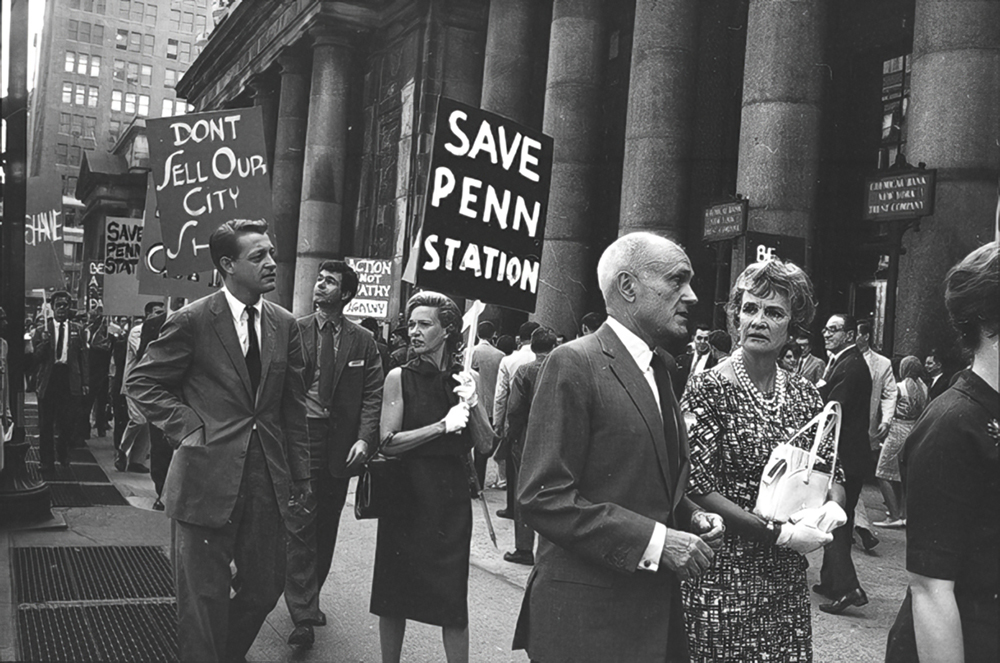
On April 19, 1965, Mayor Robert Wagner signed the NYC Landmarks Law, establishing the NYC Landmarks Preservation Commission and finally allowing historic sites and neighborhoods to be protected from the wrecking ball. Sixty years later, we have 16 historic districts, over 100 individual landmarks, and eight interior landmarks in our neighborhoods — including our city’s first designated landmarks, its most recently designated landmark, and a huge array of spaces, places, and structures designated during every decade in between.
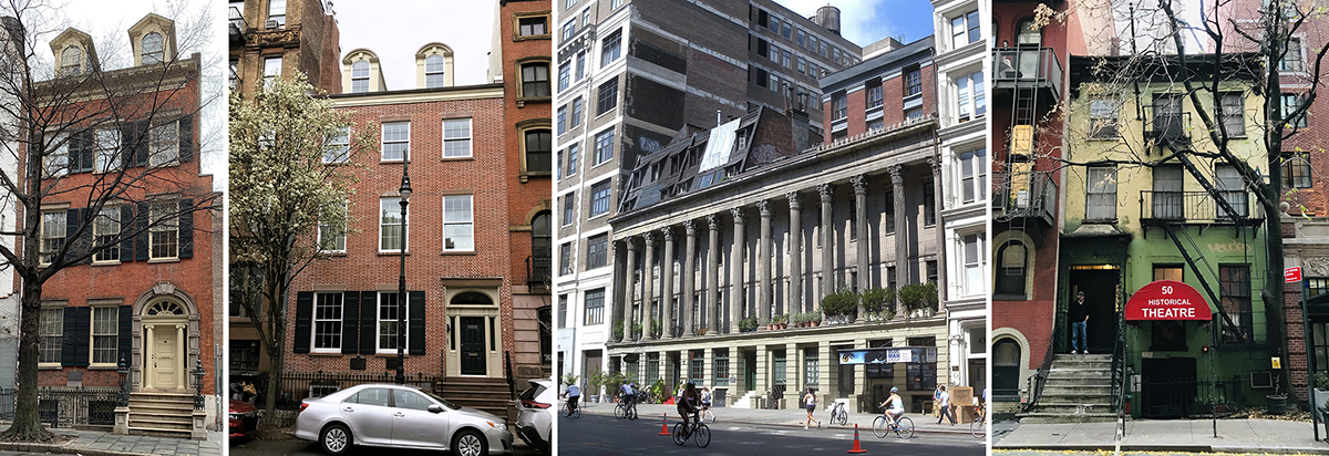
To celebrate that milestone, we’ve created a landmarks timeline map of Greenwich Village, the East Village, and NoHo, which lets you see when every one of nearly 150 landmark designations in our neighborhoods protecting over 3,500 buildings took place. Learn more about why they were designated and the special history they represent. This first-of-its-kind resource is the latest in dozens of interactive maps of our neighborhoods’ history we’ve created,

While 60 years of landmark designations is a cause for celebration, the dramatic drop in landmark designations in recent years, and especially under Mayor Adams, is a cause for alarm. Through our recent study, Village Preservation has also catalogued every landmark designation in NYC since 1965, showing how drastically the City has curtailed new landmark designations. We’re calling on City leaders to reverse this damaging trend.