Proposed East Village Historic District Maps Revealed!
Last night, the Landmarks Preservation Commission (LPC) revealed maps of their two proposed historic districts in the East Village.
The larger of the two proposed districts is composed of sections of blocks on and around lower Second Avenue:

The smaller of the districts encompasses the entire blockfront on the north side of East 10th Street between Avenues A & B:

This is a preliminary step in the LPC’s consideration of these districts; the next step will be a public presentation and hearing before Community Board #3’s Landmarks Subcommittee on Thursday, May 12 at 6 pm at BRC, 30 Delancey Street, btw. Chrystie and Forsyth Streets.
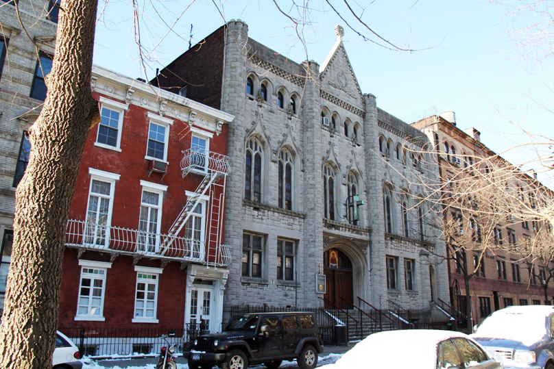
In many ways, this news thrills us. GVSHP has been surveying and documenting the history of every building in the East Village in order to help advocate for landmark protections for the East Village’s important historic resources. The LPC’s potential proposed districts include some very important structures and streets which merit landmark designation.

However, the LPC’s proposal leaves much to be desired. It excludes much of the neighborhood, which is also full of sites worthy of consideration. GVSHP has and will continue to urge the LPC to make this a first, rather than a final, step in considering landmark designations in the East Village.

For more information on the East Village and GVSHP’s efforts to preserve it, click HERE.

2 responses to “Proposed East Village Historic District Maps Revealed!”