
Greenwich Village in the 1930s and Today
What was Greenwich Village like in the 1930s? Well, it might surprise you that not that much has changed in some regards, at least in relation to neighborhood landmarks, except for the El train of course no longer running up 6th Avenue. Thanks to the map below of Greenwich Village from the 1930s, we can see many distinct buildings and landmarks of the neighborhood which are still standing today.

Perhaps one of the most prominent landmarks is the Jefferson Market Courthouse. Designed by Calvert Vaux and Federick Withers, it was constructed in 1876. Today it houses a public library, but in the 1930s it was the Women’s Courthouse and the Court of Special Sessions. Beginning in 1934 the Women’s House of Detention stood next door, which was razed and replaced with the Jefferson Market Garden we have today.
Many other buildings now protected by the Greenwich Village Historic District are also apparent in the map, including: the Northern Dispensary at Waverly Place and Christopher Street, constructed in 1831; Greenwich House, the settlement house on Barrow Street constructed in 1916; and “The Narrowest House in New York” at 75 1/2 Bedford Street, constructed in 1873.
The Salmagundi Club, which is an individual NYC Landmark, is the only surviving intact mansion on Lower Fifth Avenue. The building was constructed in 1852 in an Italianate style for railroad and coal magnate Irad Hawley. The Salmagundi Club, a noted artists club founded in 1871, purchased the building in 1917 and has used it ever since.

However, many other historic buildings noted on this map fall in our proposed South of Union Square historic district which has yet to be protected with landmark designations. On Fifth Avenue, No. 80 Fifth Avenue is visible on the map. The 16 story office building was designed in a highly decorative Rennaisance Revival style in 1908 by architects Buchman & Fox. This building has been home to the International Workers Order, The Motion Picture Patents Company, Forbes Magazine, and the National Gay Task Force. Despite its obvious architectural and historic significance, this building remains unprotected by landmark designation.

10 East 13th St was constructed in 1888 by architect G.A. Schellenger for John Glass & Son. It was the home of Fairchild Publishing, producer of Women’s Wear Daily (WWD).

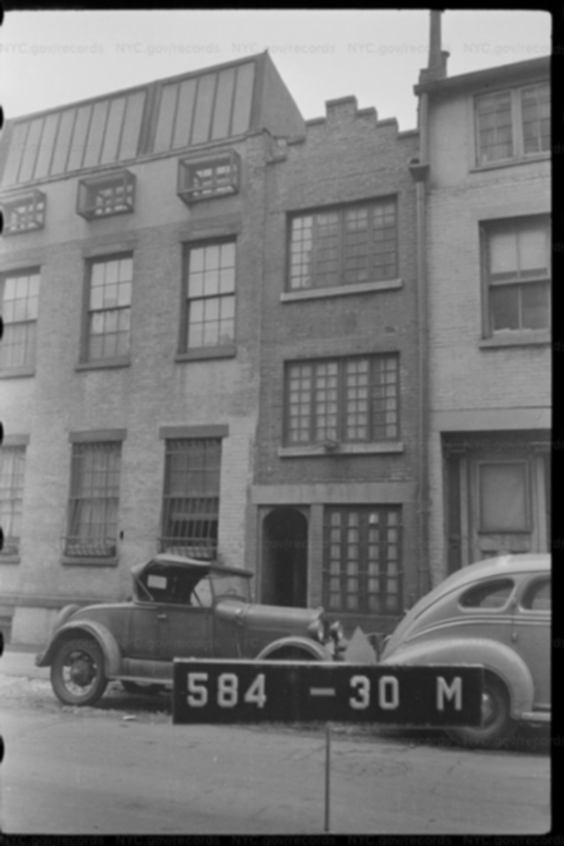
Unfortunately, when looking at the map you can also spot some lost landmarks of the area south of Union Square. One is the New York Society Library which was established in 1754 to provide New Yorkers with access to literature and writings when no other libraries existed. Originally located on Wall Street, by the mid-19th century the library’s collection became so large (thirty-five thousand volumes), it was necessary to build a larger building in Greenwich Village. In 1856, it moved to Greenwich Village, taking up residence in a beautiful new home it built at 67 University Place between 12th and 13th Streets. The street numbers were changed in 1895, and 67 University Place became 109 University Place. Here the library remained for eighty-one years, until 1937. Then the library moved uptown to its current location, and in 1940 the beautiful building was replaced with an art deco apartment building.

A map like this is a special historical artifact. It allows us to have a look back nearly a hundred years and highlights the historic significance of our neighborhood both then and now. It also reminds us that while much of Greenwich Village has been landmarked, the area south of Union Square and its historic fabric is not yet protected.

Village Preservation has recently received a series of extraordinary letters from individuals across the world, expressing support for our campaign to landmark a historic district south of Union Square.
To help landmark the historic buildings seen on this map and other buildings in this area, click here. To read more history of the buildings and area south of Union Square, and our preservation efforts in the area, click here. To explore the area South of Union Square and its fascinating history, click here.