Hudson River Park’s Estuarine Sanctuary
We have gratefully reached that point in September in New York City when the weather is close to flawless, with clear blue skies, moderate temperatures, and a light westerly breeze. A respite from the humidity of August and a welcome reminder that fall approaches, it is also a great time to reflect on one of our foremost natural resources: the Hudson River, which is actually more accurately described, at least in our geographic area, as a tidal estuary.

While the development of Lower Manhattan, and certainly Greenwich Village, was historically closely linked to the island’s river systems, it is easy to take this for granted today. Due to the angling of streets and placement of buildings, until you make your way as far west as Hudson Street, or sometimes even Greenwich or Washington Streets, any visual connection to the Hudson River is often severed. The historic industrial buildings in the Far West Village that relate to the river’s edge have also been habitually neglected when it comes to landmark status and other protections, though Village Preservation has successfully campaigned to secure some landmark and zoning protections for the area, and continues to rally for these safeguards and monitors to ensure landmarks and zoning regulations are faithfully enforced.

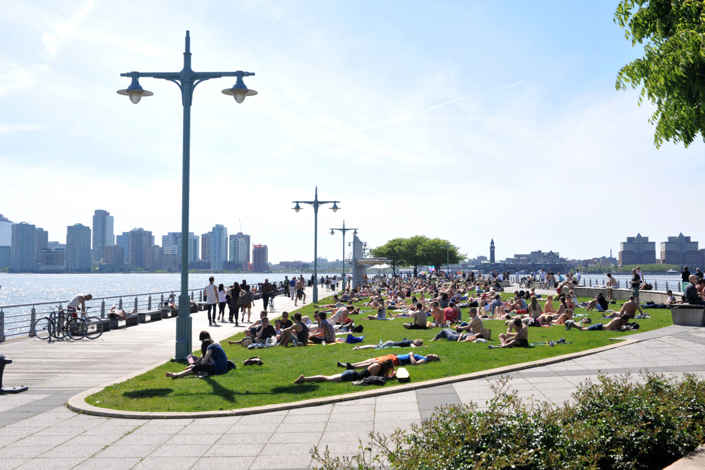
The riverfront itself has experienced a transformation over the past several decades. On September 8, 1998, the Hudson River Park Act was signed by Governor George E. Pataki, which designated the riverbank as park land and established the Hudson River Park Trust to oversee its development, protection, and ongoing operations. According to their website, Hudson River Park now encompasses 550 acres, running along four+ miles of waterfront on the west side of Manhattan. Approximately one quarter of that frontage extends from the southern end of Greenwich Village to the top of the Meatpacking District (Gansevoort Market), and overall it is the “largest open space in Manhattan since the completion of Central Park.”

In the years that followed, a derelict, mostly abandoned (though trespassed by some — a story for another day) waterfront and associated piers, piles, and jetties were reimagined in a myriad of ways. The landscape was thoughtfully reclaimed and redesigned to reflect aspects of the area’s history and continued riverine connection — an example being the bow notch located on the esplanade between Piers 45 (West 10th Street) and 46 (Charles Street), which references the early twentieth century practice by which port operators would carve notches into the existing seawall to accommodate increasingly large vessels. Completed in 2003, Pier 45 was designed by landscape architecture firm Abel Bainnson Butz, LLP, and was one of the first to be rebuilt by the Trust.
We’ve touched on this transformation and some of the many layers of history along our waterfront before. But there’s so much more than meets the eye. One critical aspect of the Hudson River Park Trust’s work is their maintenance of the 400-acre Estuarine Sanctuary. Anchored by two monitoring stations, at Pier 25 in Tribeca and Pier 84 in Hell’s Kitchen, this stretch of the river largely fronting the West Village serves as a “vital habitat and travel corridor for numerous fishes, birds, crustaceans and insects.” The Trust goes on to note that “monitoring the frequency with which these animals use the Park’s land and waters provides valuable information about the health and future of these populations.” In addition to the research opportunities and ecological protection measures that the sanctuary provides, the Trust uses this resource as an educational tool, creating hands-on opportunities for students to engage with and learn about its estuarine ecologies.

The research conducted within this local ecosystem also supports larger initiatives at the regional and even national scale, including efforts to protect and restore habitats for wildlife and other natural resources further afield. Some of the projects currently being undertaken include surveying and monitoring of fish (the sanctuary is home to more than 85 species); microplastic research and plastic pollution remediation; an initiative to restore oyster habitats, which once proliferated our shorelines; ongoing assessments of river conditions, including the intrusion of pathogens and other pollutants; and geotechnical surveys to help gain further understanding of the topography and composition of the river’s bottom.
In September 2021, the park adopted the Estuarine Sanctuary Management Plan: Progress Report & Action Agenda 2021–2030, following a public comment period. The plan includes a progress report along with actionable steps for future research, environmental education, habitat enhancement, and ongoing public access. It will be fascinating to see how this important work continues to develop as the plan is implemented over the next several years, while a number of different coastal resiliency measures are simultaneously being pursued in Battery Park City, along the East River, and beyond.
